By Rob Thorn
We crept through the dense brush of Mock Park, squarely in the urban core of Columbus, looking for migrant birds. This park is urban enough that we had to put all our valuables out of sight in our cars (advice that is now probably useful for all Columbus parks and Metro Parks). Our leader held up his hand to stop and quiet us. Peering forward, we watched 3 Wild Turkeys amble away into the thick underbrush. Minutes later, we had a Hooded Merganser pair cavorting along Alum Creek below the Mock bluffs. We also wound up with 7 species of migrant warbler as well. All this while jets raced overhead into approach paths for Port Columbus,–oops, John Glenn International Airport.
It’s probably one of the least known “wild areas” in Columbus: a string of parks and greenspaces along the valley of Alum Creek from north I-270 down to Ohio Dominican University, all knitted together by the Alum Creek Multi-use Trail. It’s probably not an exaggeration to say nearly a quarter-million people commute through this area weekly, yet it still maintains some essentially wild features. I’ve lost count of the number of times that I’ve hiked or biked along the Trail and lost all sense of being in a busy urban area.
It’s also become one of my nearby go-to birding areas, since many of the best areas are easily accessed off Sunbury Road, which parallels the creek over much of this stretch. I’ll try to guide you through some of the best areas in and near this greenbelt, in the hope that you might visit some of them after work or when short on time some weekend morning. The north sections of the Trail are mapped here: https://columbusrecparks.com/wp-content/uploads/2023/04/Alum-Creek-Trail-North-Section.pdf , while the middle and south sections are here: https://columbusrecparks.com/wp-content/uploads/2023/04/Alum-Creek-Trail-Central-Section.pdf
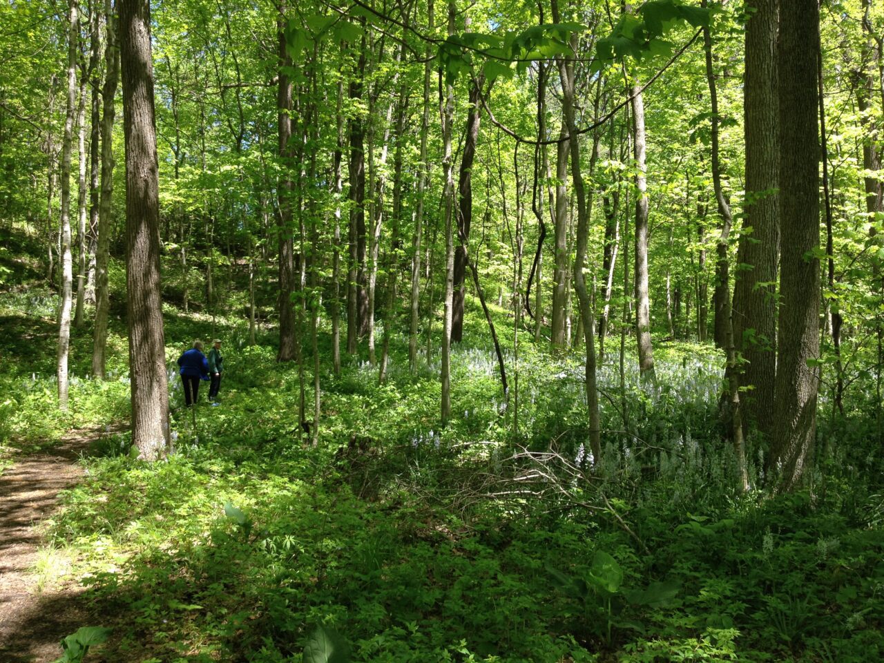
The north third of the valley has some of the safest and most accessible spots. Casto Park and nearby Ridgewood Park, off SR 161, offer surprisingly intact forest blocks, despite very unpromising parking areas. Ridgewood, especially, has a wonderful small loop trail that goes east from the playfields into the narrow wooded valley of Spring Creek. Look and listen for typical forest birds like vireos, chickadees, and woodpeckers here. Also, the spring wildflower display at Ridgewood is extraordinary.

South along the Alum Creek Trail, one comes to Strawberry Farms Park-Tanager Woods Park-Parkridge Park. These three parks form a nearly continuous green corridor down to Morse Road, with several small flood wetlands along the way to spice things up. You can access the trail from any of the parks and several side trail spurs. This stretch makes for a great migrant corridor, and I can often find flocks of migrating landbirds working the scrubby woods along the trail from March through May.

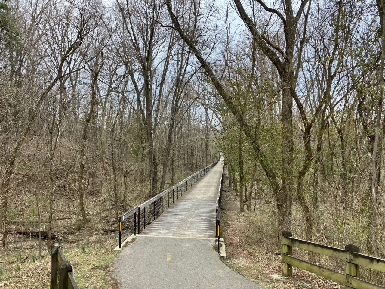
The middle third includes Innis Park, one of the oldest parks in the Greenbelt. It includes a lovely section of creek, as well as a startling long boardwalk along the Trail, through a floodplain forest. Just don’t go there on a weekend afternoon, as the fields are heavily used for soccer games and parties. North of the park is Champions Golf Course, a course built into ravines along the bluffs west of the creek. You can see some of it from the Alum Creek Trail, but golfers can truly appreciate the varied landscape by playing the course. The forested edges and creek frontage make the course excellent wildlife and bird habitat. South of Innis Park, the Trail weaves back and forth over the creek for two miles, through small patches of woods and fields, down to the flats below Mock Park. You can see some of this area on this bicycling video: https://www.youtube.com/watch?v=td3JuZV2xVw The varied habitats can produce a good bird list, but the Trail is only easily accessed from Innis Park.
The southern third is the most urban, though even here, houses don’t really intrude upon the trail much. At Mock Road, a trip up the bluff to the west takes you to Mock Park. Named for pioneering female aviator (and Columbus native) Jerrie Mock, the park includes an indoor athletic complex and playfield, but the northern half of the park is a forested ravine and bluff over Alum Creek, designated as a Columbus Parks Nature Preserve. The preserve formerly had picnic areas and trails, but they have become overgrown. Now, it has a series of old footpaths, but lacks a formal trail system. As with Innis, coming on a weekend afternoon anytime but winter is probably not a good idea, as the park becomes noisy and crowded with all sorts of people. South of Mock Road, the Alum Creek Trail goes along a lovely stretch of creek, and can be accessed by a small parking lot along Sunbury Road north of Brittany Hills Park at Bethesda Ave. This stretch is very scenic, cutting across several small pocket swamps, before crossing the creek to skirt the edge of Ohio Dominican University. Called the Weiler Parkland, this area is another good migrant corridor, though a high proportion of invasive plants cuts down on the food available for some insect-eating birds. Barred Owls can be heard along this stretch in the morning and evening.
South of ODU, the path gets less scenic, zig-zagging between Nelson Road, I-670, and Alum Creek before squeezing under I-670 along Nelson Road. Below Nelson Road, the combination of Nelson Park and Jeffrey Park is a good birding area. Nelson is open and attracts flocks of geese and starlings, while Jeffrey is mostly wooded and acts as a habitat island for woods-loving birds. Jeffrey’s mature forest is surrounded by the large yards of several mansions (it was such a spot itself, and the old Jeffrey Mansion is now used for a variety of Bexley City events), and has amassed a sizeable list of birds that have strayed here in migration and winter.

